Simple python script that plots all the german towns/villages/cities/hamlets that end with the letter "a".
The final result is the following image:
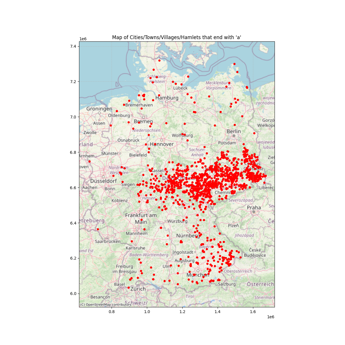
It clearly can be seen that there is a higher concentration in the central regions (which correspond roughly to Thüringen and Sachsen).
But why? (Feel free to use the issue section to answer/discuss)
- python3
Python libraries (all can be installed with pip):
- json
- matplotlib
- geopandas
- contextily
I do not own any of the used data!
The map files in the folder ne_110m_admin_0_countries/ were downloaded from Natural Earth .
The town informations files in the folder de/ were downloaded from Geoapify.